Marbury
This site is in the Shropshire, Cheshire and Staffordshire Plain National Character Area and supplies units to developments across North West. We own it freehold and protect it in perpetuity.
Exact location and grid reference shared on enquiry.
- Planning authority
- Cheshire East
- Developments supplied
- 53
- Tenure
- Owned freehold
- Protection
- In perpetuity
About the site
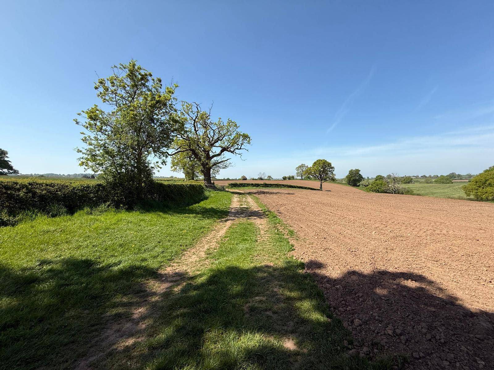
A former dairy farm at Marbury, north-east of Whitchurch: three cropland fields, a modified grassland field, a small area of neutral grassland, hedgerows and field trees, with a ditch to Marbury Brook along the north-eastern boundary. The site lies in the core ecological network and a Nature Improvement Area in the Cheshire East Local Plan. A public right of way crosses it.
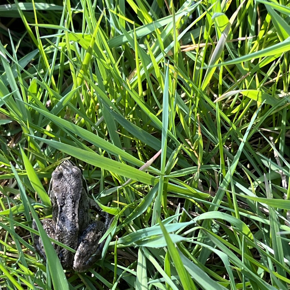
The cropland is becoming mixed scrub, species-rich neutral grassland and traditional orchard, the grassland field is being enhanced to species-rich neutral grassland, and every hedgerow is being enhanced. Records within two kilometres include otter, polecat, badger, brown hare, hedgehog, ten bat species, twenty-nine bird species and great crested newt, with variegated damselfly within a kilometre; the new grassland and scrub give them more places to breed, shelter and feed.
Managed under a habitat management and monitoring plan, with condition surveyed by independent ecologists and reported to Cheshire East Council.
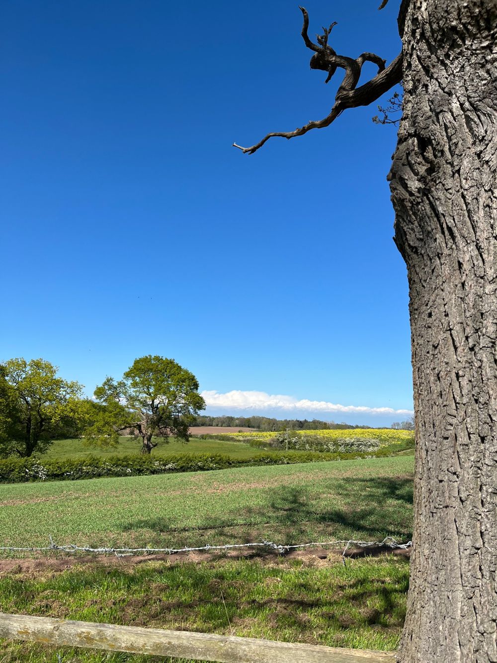
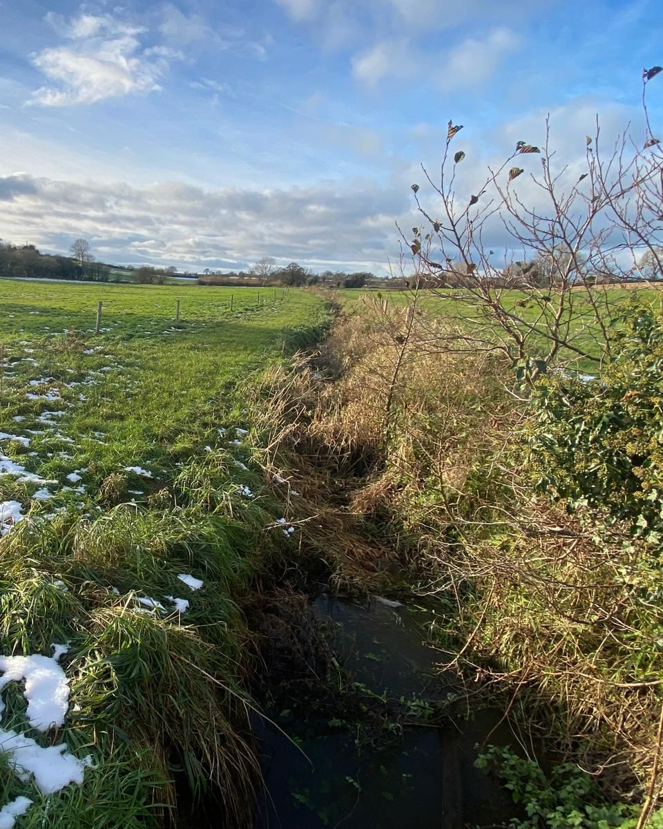
Recorded on site
Some of what our team has found at Marbury.
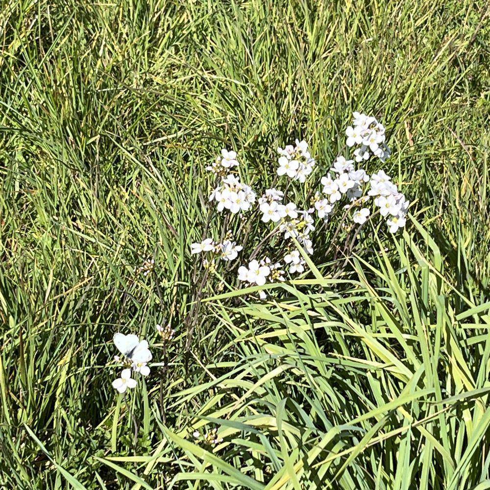
Habitats at Marbury
Availability changes as units are allocated, so tell us what you need and we’ll confirm.
- Neutral grassland
- Species-rich neutral grassland, the workhorse habitat for area-based units.
- Traditional orchard
- Priority habitat combining fruit trees, grassland and deadwood.
- Mixed scrub
- Structurally diverse scrub providing nesting, shelter and forage.
- Individual trees
- Standalone and veteran trees carrying their own unit value.
- Hedgerow
- Species-rich native hedgerow with trees, generating hedgerow units.
Location
Neighbouring areas are in lighter green. The dot shows the general location.
Which developments this site can serve
No multiplier in the home area and a reduced one in adjacent areas.
Home area, no multiplier
- Shropshire, Cheshire and Staffordshire Plain
Adjacent areas served
- Cannock Chase and Cank Wood
- Cheshire Sandstone Ridge
- Manchester Conurbation
- Manchester Pennine Fringe
- Mersey Valley
- Mid Severn Sandstone Plateau
- Needwood and South Derbyshire Claylands
- Oswestry Uplands
- Potteries and Churnet Valley
- Shropshire Hills
- South West Peak
- Wirral
Local planning authorities
- Cheshire East
Neighbouring authorities
- Shropshire
- Newcastle-under-Lyme
- Staffordshire Moorlands
- Peak District National Park
- High Peak
- Stockport
- Manchester
- Trafford
- Warrington
- Cheshire West and Chester
How this site is secured
What your authority will examine
Who owns the land, what binds it, and who is responsible if the habitat fails.
Here
We own the land freehold and a conservation covenant or planning obligation protects it permanently, with condition independently monitored throughout.
Who stands behind the obligation
- The land
- We own the land freehold, with no lease and no third-party landowner.
- The covenant
- A conservation covenant or planning obligation protecting each site in perpetuity, registered against the title.
- Responsible Body
- An independent Responsible Body or the local authority can step in if we ever fail to deliver.
- The endowment
- Long-term management is funded by an endowment set aside at allocation.
- Financial strength
- We have £56.5m of capital for land and habitat, and are rated Very Low Risk with an international credit score of A. That capital lets us buy land and create habitat before your programme needs it, and fund its management for the long term.
Check availability at Marbury
Send us your metric and postcode and within a day we’ll confirm what is available here, any multiplier and the price.