Felmersham
This site is in the Bedfordshire and Cambridgeshire Claylands National Character Area and supplies units to developments across Midlands & Central. We own it freehold and protect it in perpetuity.
Exact location and grid reference shared on enquiry.
- Planning authority
- Bedford
- Developments supplied
- 63
- Tenure
- Owned freehold
- Protection
- In perpetuity
About the site
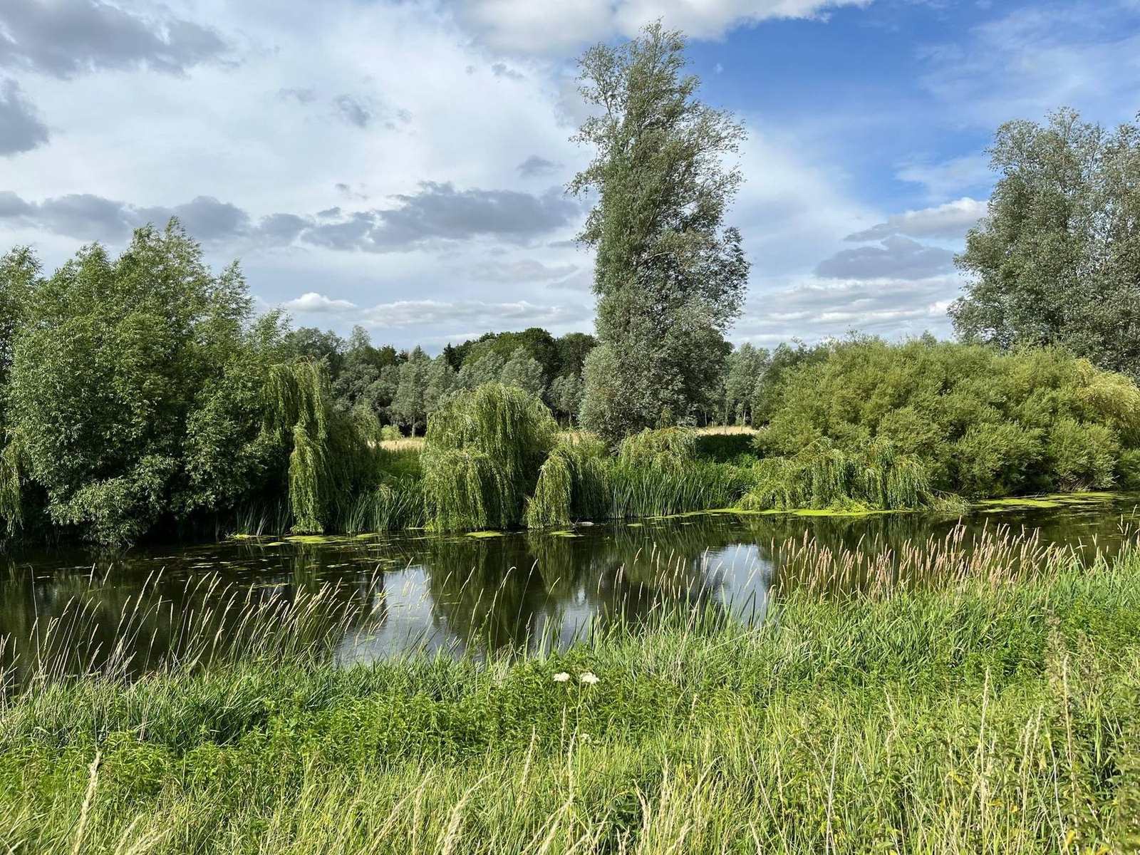
A gently sloping arable field west of Felmersham, running down to the River Great Ouse, which forms its northern boundary and is a County Wildlife Site. Felmersham Gravel Pits SSSI is about 600 metres to the north-east across the river, Harrold Odell Country Park Local Nature Reserve about a kilometre west, and the Felmersham Marshy Meadows County Wildlife Site 200 metres east. Most of the field lies in the county’s mapped zones for expanding and linking habitat networks.
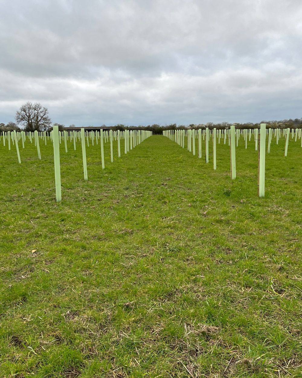
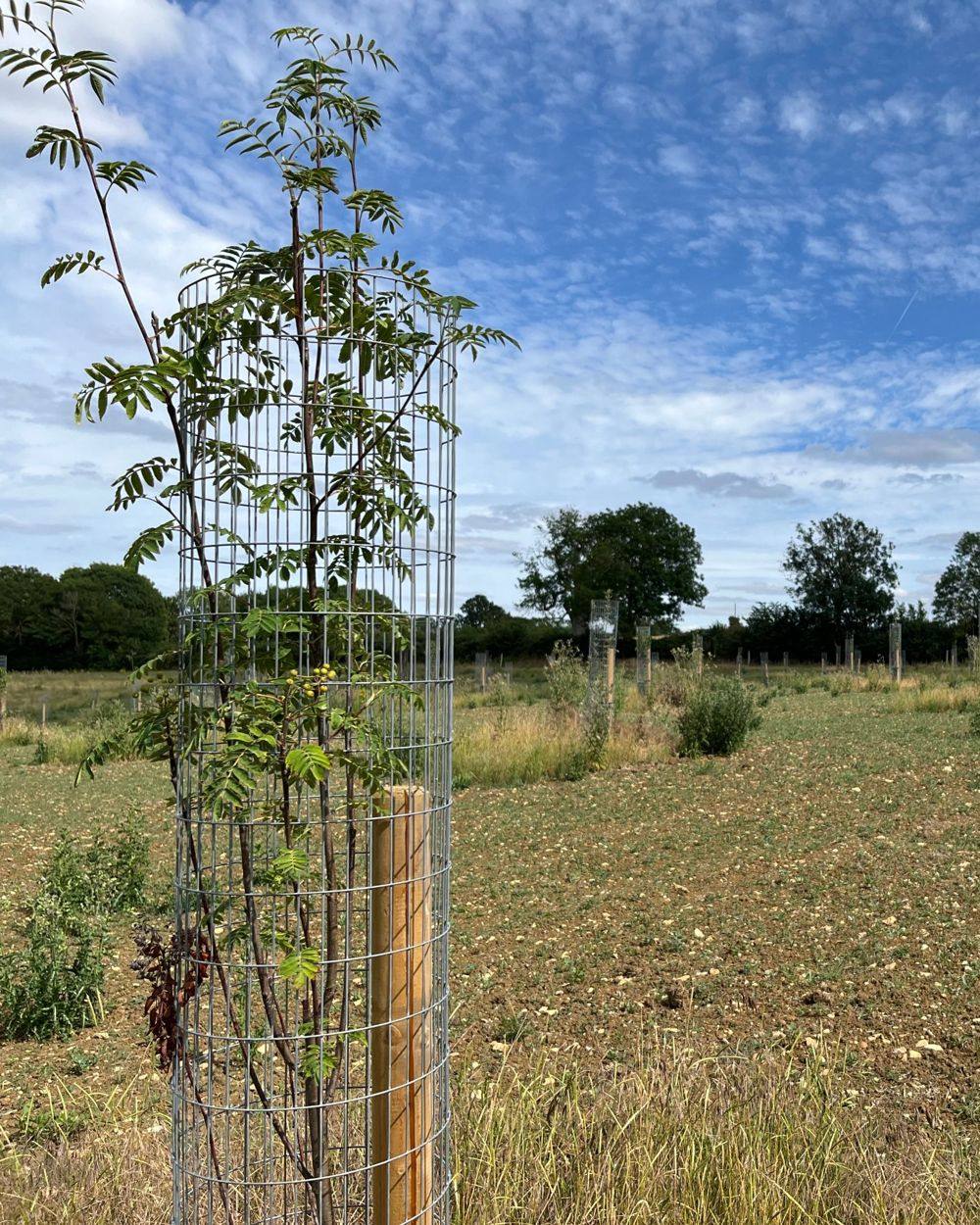
The field is being turned into species-rich neutral grassland meadow, the largest single habitat on the site, with mixed scrub, a traditional orchard and Open Mosaic Habitat on Previously Developed Land, a priority habitat. Wet woodland is being created on the lower ground and the grass strip beside the river, linking to the wet woodland on the far bank. Hedgerows are being enhanced, and a new one planted along a historic field boundary.
Managed under a habitat management and monitoring plan, with condition surveyed in years one, two and five and then every five years, and reported to Bedford Borough Council.
Habitats at Felmersham
Availability changes as units are allocated, so tell us what you need and we’ll confirm.
- Neutral grassland
- Species-rich neutral grassland, the workhorse habitat for area-based units.
- Traditional orchard
- Priority habitat combining fruit trees, grassland and deadwood.
- Mixed scrub
- Structurally diverse scrub providing nesting, shelter and forage.
- Individual trees
- Standalone and veteran trees carrying their own unit value.
- Hedgerow
- Species-rich native hedgerow with trees, generating hedgerow units.
- Open Mosaic Habitat on Previously Developed Land
- Rare priority habitat on previously developed land. Difficult to create and highly valued.
- Wet woodland
- Priority wet woodland on seasonally waterlogged ground.
Location
Neighbouring areas are in lighter green. The dot shows the general location.
Which developments this site can serve
No multiplier in the home area and a reduced one in adjacent areas.
Home area, no multiplier
- Bedfordshire and Cambridgeshire Claylands
Adjacent areas served
- Bedfordshire Greensand Ridge
- Chilterns
- Cotswolds
- East Anglian Chalk
- Kesteven Uplands
- Northamptonshire Vales
- Rockingham Forest
- The Fens
- Upper Thames Clay Vales
- Yardley-Whittlewood Ridge
Local planning authorities
- Bedford
Neighbouring authorities
- Central Bedfordshire
- Huntingdonshire
- North Northamptonshire
- Milton Keynes
How this site is secured
What your authority will examine
Who owns the land, what binds it, and who is responsible if the habitat fails.
Here
We own the land freehold and a conservation covenant or planning obligation protects it permanently, with condition independently monitored throughout.
Who stands behind the obligation
- The land
- We own the land freehold, with no lease and no third-party landowner.
- The covenant
- A conservation covenant or planning obligation protecting each site in perpetuity, registered against the title.
- Responsible Body
- An independent Responsible Body or the local authority can step in if we ever fail to deliver.
- The endowment
- Long-term management is funded by an endowment set aside at allocation.
- Financial strength
- We have £56.5m of capital for land and habitat, and are rated Very Low Risk with an international credit score of A. That capital lets us buy land and create habitat before your programme needs it, and fund its management for the long term.
Check availability at Felmersham
Send us your metric and postcode and within a day we’ll confirm what is available here, any multiplier and the price.